
Evaluating environmental conditions is one of the most critical steps in the vacant land purchase process. Among all natural site factors, flood zones and protected wetlands exert the strongest influence over property buildability, site development expenses, and long-term land value. A parcel of land might offer sweeping views, gentle topography, and excellent road access, but if federal environmental overlays or severe flood hazards cover the terrain, the usable building area can shrink dramatically or disappear entirely.
Navigating flood zones and protected wetlands requires looking beyond dry surface conditions to examine official federal flood maps, environmental protection agency regulations, state soil surveys, and local buffer rules. By understanding how flood zones are classified, how wetlands are legally defined, and how regulatory agencies enforce environmental setbacks, you can protect your investment capital, avoid regulatory fines, and secure a buildable piece of land that supports your vision.
The Legal and Environmental Definitions of Flood Zones and Wetlands
Before evaluating candidate properties, buyers must understand the legal and physical definitions that govern flood zones and wetlands. These environmental features fall under overlapping federal, state, and local regulatory jurisdictions designed to protect natural ecosystems and prevent storm water damage.
A flood zone is a geographic area identified by the Federal Emergency Management Agency, commonly known as FEMA, that carries a statistically calculated risk of flooding. These zones are delineated on official Flood Insurance Rate Maps based on historical rainfall data, river flow rates, coastal storm surges, and local topography. Flood zone designations dictate whether structures must be built on elevated foundations, whether mandatory flood insurance applies, and what engineering approvals are necessary before construction begins.
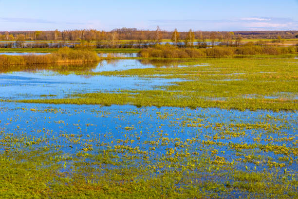
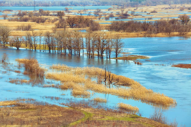
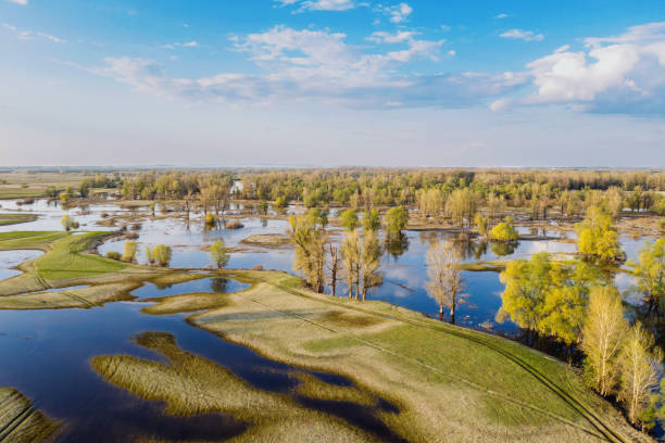
A wetland is defined legally as land where water saturates the soil surface long enough during the growing season to support plants adapted to saturated soil conditions. Under federal law, wetlands do not need to feature visible standing water year-round. Low-lying basins, seasonal marshy areas, wet meadows, and forested bottomlands can meet the legal definition of a protected wetland based on soil characteristics and plant species alone.
Primary Federal Flood Zone Designations and Insurance Rules
FEMA categorizes land into distinct flood hazard zones based on the annual probability of inundation. Recognizing these zone codes allows you to evaluate risk levels instantly when reviewing parcel maps or title commitments.
Special Flood Hazard Areas represent high-risk zones subject to a one percent annual chance of flooding, commonly referred to as the 100-year floodplain. Properties located within these high-risk areas face strict building restrictions and mandatory flood insurance requirements if financed through a federally regulated mortgage lender. Moderate-risk and low-risk zones carry significantly fewer construction hurdles and lower insurance rates.
The table below outlines primary FEMA flood zone classifications, their legal definitions, and their practical financial impact on real estate buyers:
| FEMA Flood Zone Code | Flood Risk Category and Probability | Building Restrictions and Insurance Requirements |
| Zone A / AE | High Risk; 1% annual flood chance (100-Year Floodplain) | Mandatory flood insurance required; elevated foundations mandated |
| Zone V / VE | High Risk; Coastal hazard zone with velocity wave action | Extreme building restrictions; engineered pile foundations required |
| Zone X (Shaded) / Zone B | Moderate Risk; 0.2% annual flood chance (500-Year Floodplain) | Insurance optional; standard building permits usually allowed |
| Zone X (Unshaded) / Zone C | Minimal Risk; Outside 500-year floodplain boundary | Insurance optional; standard construction rules apply |
| Zone D | Undetermined Risk; Unstudied geographic area | Possible flood hazards; local site study required before building |
Understanding these codes helps you factor elevated foundation engineering and annual insurance premiums into your total site budget before submitting a purchase offer.
The Regulatory Framework Governing Protected Wetlands
Protected wetlands fall under strict federal jurisdiction primary governed by Section 404 of the Clean Water Act, administered jointly by the United States Army Corps of Engineers and the Environmental Protection Agency. State environmental protection departments and local municipal conservation commissions frequently enforce even stricter wetland protection rules.
Under federal rules, filling, grading, draining, or clearing vegetation within a jurisdictional wetland requires a formal permit from the Army Corps of Engineers. Dredging or placing fill dirt inside a protected wetland without a permit is a federal violation punishable by massive daily fines, civil lawsuits, and mandatory site restoration orders that can cost tens of thousands of dollars.
Furthermore, state and local laws enforce mandatory buffer zones, often called conservation setbacks, around protected wetlands. These buffers create an undeveloped perimeter around the wetland border, ranging from 25 feet to over 100 feet depending on local ordinances. You cannot construct buildings, drill water wells, install septic drain fields, or clear trees within these buffer zones without specialized environmental variances.
Comparative Breakdown of Wetland Types and Development Limits
Different wetland ecosystems present distinct physical challenges and legal restrictions for property buyers. The table below compares common wetland classifications, their physical indicators, and their regulatory impact on development:
| Wetland Ecosystem Category | Physical Characteristics and Indicators | Development Limits and Permitting Difficulty |
| Forested Wetland / Bottomland | Mature trees growing in seasonally saturated soils | High restriction; difficult to spot in dry months; requires site study |
| Emergent Marsh / Meadow | Sedge, cattails, and rushes in low-lying wet basins | Extremely high restriction; high ecological value; filling rarely permitted |
| Vernal Pool / Seasonal Basin | Temporary spring pools essential for amphibian breeding | Strict local protections; large seasonal buffer setbacks enforced |
| Shrub-Scrub Wetland | Dense woody brush like alder growing in mucky soil | High restriction; clear cut limits apply; heavy soil mitigation needed |
| Man-Made Drainage Pond | Artificial retention basins created for stormwater | Variable restriction; often exempt from strict natural wetland rules |
Identifying the specific wetland categories present on a parcel helps you determine whether environmental agencies will grant construction permits for your project.
Locating Flood Zones and Wetlands During Property Due Diligence
Uncovering environmental hazards requires combining desktop mapping research with on-site physical evaluations during your contractual inspection period. Never rely solely on seller disclosures or visual checks performed during dry summer months.
Start your investigation by reviewing online mapping databases. Consult the FEMA Flood Map Service Center to pull official Flood Insurance Rate Maps for candidate parcels. Next, review the National Wetlands Inventory database operated by the United States Fish and Wildlife Service, which maps mapped wetland systems across the country.
However, desktop mapping tools have limitations. National wetland inventory maps rely on high-altitude aerial photography and frequently miss smaller vernal pools, forested wetlands, or recent environmental changes. To confirm environmental boundaries with complete legal certainty, you must commission a professional site evaluation performed by a certified wetland scientist or environmental consultant.
The Wetland Delineation Process and Environmental Consulting
A formal wetland delineation is an on-site field study conducted by an environmental consultant to establish the exact, legal boundaries of protected wetlands on a property. Ordering a delineation is essential if mapping databases or visual site walks hint at saturated soils or water-loving vegetation.
During a delineation, the environmental scientist walks the terrain to analyze three core environmental indicators defined by federal manual standards:
- Hydrophytic Vegetation: Identifies plant species adapted to saturated soil, such as cattails, red maples, sedges, and alders.
- Hydric Soils: Core soil samples are extracted to check for specific coloration patterns, organic muck layers, or gleying caused by long-term water saturation.
- Wetland Hydrology: Checks for physical evidence of recurring surface water, watermarks on tree trunks, drift deposits, or saturated root zones.
The consultant places high-visibility flags along the precise wetland edge and maps those points using survey-grade Global Navigation Satellite Systems. A land surveyor then plots those flagged coordinates directly onto your property survey plat, giving you a legally defensible boundary map.
Evaluating the Impact of Flood Zones and Wetlands on Site Buildability
Discovering flood zones or wetlands on a parcel does not automatically mean you must abandon the purchase. However, it requires recalculating the parcel’s buildable footprint and estimating additional site development costs.
To determine if a property remains viable, subtract all floodway corridors, wetland boundaries, and mandatory local buffer setbacks from the total acreage. If a ten-acre lot contains six acres of protected wetlands and a 100-foot environmental buffer zone, your usable land area drops to less than four acres. You must confirm that the remaining upland space accommodates your home foundation, driveway entrance, well site, and septic system while meeting local zoning setbacks.
Furthermore, calculate additional construction costs associated with environmental features. Building in a flood zone requires engineered stem-wall or pile foundations that elevate the lowest living floor above the local base flood elevation. Installing septic systems near high water tables often requires expensive raised mound septic designs that add thousands of dollars to site preparation budgets.
Step-by-Step Environmental Review Checklist for Land Buyers
To ensure you cover every environmental contingency during property evaluation, follow this systematic step-by-step review process:
- Pull Official FEMA Flood Maps: Check candidate parcel numbers on the FEMA portal to verify flood zone classifications and base flood elevation data.
- Review National Wetland Inventory Layers: Overlay federal wetland database maps onto aerial photos to identify mapped marshland, streams, or basins.
- Conduct a Rainy Season Field Inspection: Walk the parcel after heavy rainfall to check for surface runoff channels, pooling water, and saturated soil.
- Commission a Professional Wetland Delineation: Hire a certified environmental consultant to flag exact wetland boundaries if water features exist near building zones.
- Plot Environmental Boundaries on a Boundary Survey: Instruct your land surveyor to add delineation coordinates to your official survey map to define the usable building envelope.
Following this structured step-by-step method eliminates environmental surprises and provides clear evidence during municipal building permit reviews.
Navigating Environmental Permitting, Mitigation, and Variances
If your site plan requires impacting a protected wetland or building within a regulated flood zone, you must secure formal permits from state and federal regulatory bodies before clearing dirt.
Work within high-risk flood zones requires obtaining local floodplain development permits and submitting certified elevation certificates completed by a licensed surveyor or civil engineer. Designs must prove that constructing your building will not alter regional floodwater storage or increase flood levels on neighboring properties.
Impacting a protected wetland requires applying for a Section 404 permit under Clean Water Act rules. Minor impacts may qualify under nationwide general permits, provided you keep disturbances below strict square-footage limits. Major impacts require individual permits and mandatory wetland mitigation, which involves purchasing credits from environmental mitigation banks or creating new wetlands nearby to offset lost natural functions. Because mitigation is expensive and time-consuming, designing structures strictly within upland zones is always the superior strategy.
Insurance Considerations, Mortgage Rules, and Long-Term Value
Environmental constraints carry long-term financial implications that extend far beyond initial site construction costs. Evaluating ongoing insurance premiums and future resale dynamics is vital for overall asset protection.
If you secure a mortgage to purchase land or finance a home build in a high-risk flood zone, your lender will mandate carrying a flood insurance policy throughout the loan term. Flood insurance rates through the National Flood Insurance Program are based on structural elevation relative to base flood levels. A home built below base flood elevation faces extremely high annual insurance premiums that reduce monthly housing affordability.
From an investment standpoint, parcels burdened by extensive wetlands or severe flood zones appreciate at slower rates than turn-key upland properties. Future buyers may shy away from properties with complex environmental rules or high insurance expenses. Ensuring you purchase sufficient unencumbered upland space protects your resale value and guarantees easy property marketability.
Assembling an Environmental Due Diligence Team
Navigating complex water regulations and environmental hazards requires guidance from qualified site professionals who understand local regulatory policies. Assembling an expert due diligence team protects your capital throughout the purchase process.
Your team should include a certified wetland scientist to run field delineations, a Professional Land Surveyor to plot environmental boundaries on survey maps, and a civil engineer to design foundation elevations and stormwater drainage plans. Additionally, work with a local real estate attorney who specializes in land use law to verify local conservation setback codes and assist with variance applications.
Relying on specialized local experts ensures every environmental map, soil sample, and permit application adheres to current state and federal standards. Their professional insights prevent costly regulatory violations and give you complete confidence when closing on your land purchase.
Conclusion
Understanding flood zones and protected wetlands is an indispensable element of land due diligence. By learning how FEMA classifies flood risks, how federal agencies protect wetland soil, and how professional environmental delineations define buildable footprints, you protect your capital from unforeseen site obstacles. Taking a methodical, science-based approach to environmental reviews guarantees that the parcel you buy contains high, dry, and legally unencumbered land capable of supporting your long-term building goals for decades to come.
Frequently Asked Questions
Can I build a house on land that contains protected wetlands?
Yes, you can build on a parcel containing wetlands provided you construct the house, driveway, well, and septic system entirely within the upland portion of the property outside mandatory federal, state, and local wetland buffer setbacks. Building directly inside a protected wetland requires complex environmental permits and expensive mitigation credits.
How do I know if my property requires mandatory flood insurance?
If you secure a mortgage from a federally regulated lender to purchase or build on land located within a FEMA Special Flood Hazard Area, such as Zone A or Zone AE, flood insurance is legally mandatory. If you pay all cash, insurance is not legally required by a lender, though carrying coverage is strongly recommended to protect your asset.
How long is a formal wetland delineation valid?
Under federal guidelines enforced by the United States Army Corps of Engineers, a certified wetland delineation report is generally valid for five years from the date of issuance. Environmental conditions, vegetation patterns, and regulatory definitions can change over time, requiring a fresh delineation after five years elapse.
What is a Base Flood Elevation and why does it matter?
Base Flood Elevation, or BFE, is the calculated water surface elevation expected during a one percent annual chance flood event. Local building codes require the lowest living floor of new structures to sit at or above the BFE. Elevating structures above the BFE reduces flood damage risks and lowers annual flood insurance premiums.
Can a dry piece of land with no standing water still be legally classified as a wetland?
Yes, a parcel with no visible standing water can be legally classified as a protected wetland. Legal definitions rely on hydric soil conditions and water-adapted plant species, not constant surface pooling. Many forested or meadow wetlands hold surface water only during short spring periods while remaining dry on the surface throughout summer.